
Assessment of Commercial Space Potential
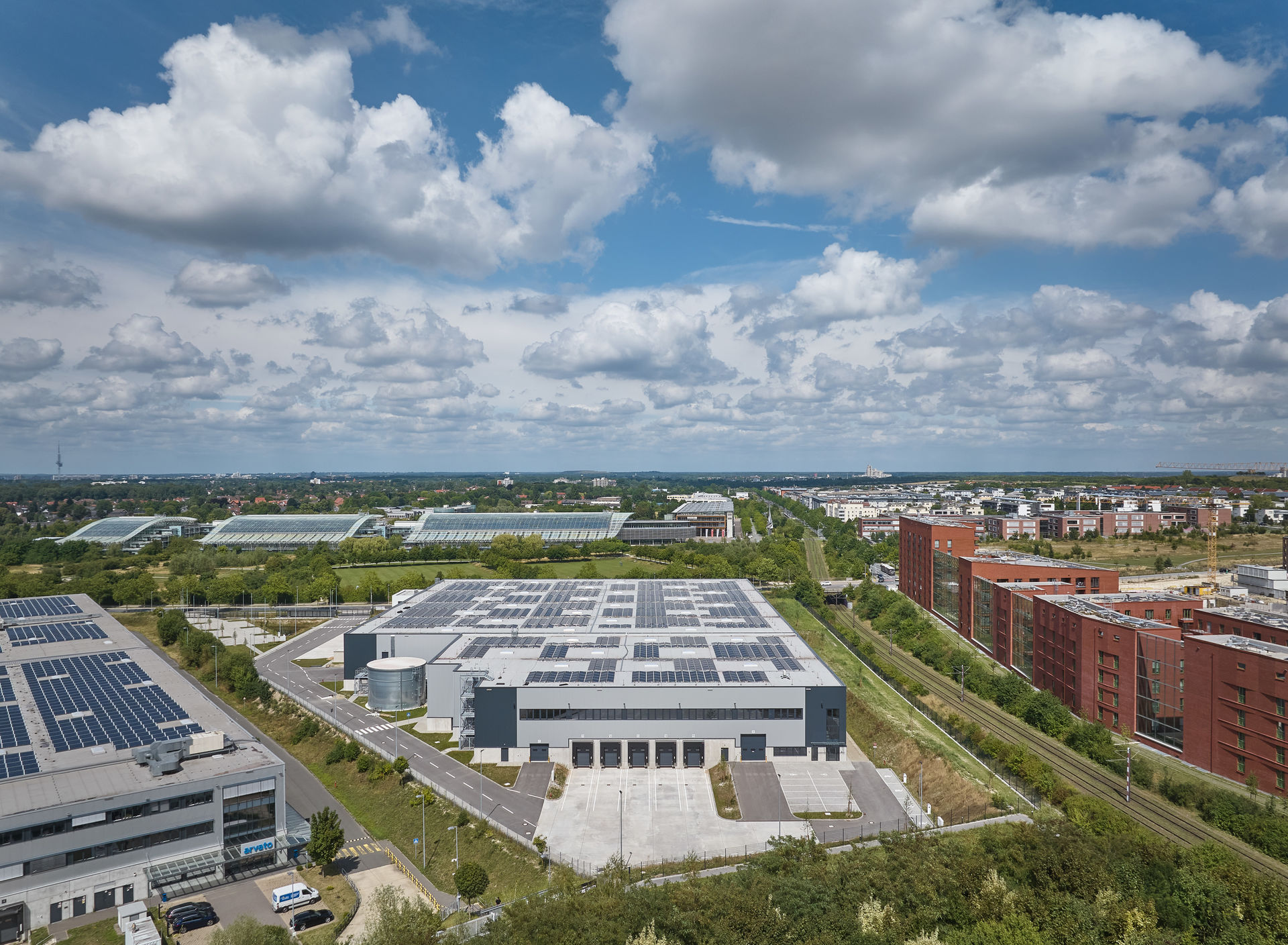
Commercial Space Potential and Classification by Location Type
Based on an analysis of commercial land demand and the regional supply of commercial land, commercial land potential is assessed by location type. Finally, conclusions regarding the statistical scope of the existing commercial land supply are drawn, and exemplary guidelines for future commercial land policy are presented .
The assessment of the total land potential is based on five location types, which differ primarily in terms of the location criteria of land size, emission potential, or building regulations under the BauNVO, as well as the quality of transportation connections and area design (Table 4).
The maximum commercial land potentials for the site types are shown in Fig. 9 . Due to overlapping site requirements, many potentials result in multiple classifications. Therefore, these represent maximum potentials per land type that cannot be added together. The “primary use” category reflects the site typology preferred by the respective municipality, while “alternative use” includes additional possible use groups.
Industry & Manufacturing (up to 604 ha): Potential sites of at least 15 ha each are located in Barsinghausen/Eckerde, Barsinghausen/Groß Munzel, Lehrte/Immensen, Hannover/Anderten, Hannover/Kronsberg North, Hannover-Misburg/Deurag-Nerag, Sehnde/Höver-North, Springe/Osttangente, Uetze/Dollbergen-West, Wedemark/Gailhof-Erweiterung Nord, and Wunstorf/Trimodalstandort.
Compared to the previous year, the potential has remained virtually unchanged, with a 1.0% decrease (611 ha).
Skilled Trades & Commerce (up to 341 ha): The land potential includes many areas, some of which are very small. Areas of at least 10 ha are located in Burgdorf/Northwest Phase 3, Garbsen-Osterwald/north of Koppelknechtsdamm, Laatzen/Gleidingen Expansion, Neustadt/Leinstraße, Pattensen/South Business Park, Uetze/Hänigsen Potash Plant, and Wunstorf/Niedere Wanne Phase 3. Here, too, the available land supply remained virtually constant compared to the previous year (343 ha), with a reduction of 0.6%.
Logistics (up to 173 ha): Potential logistics sites of at least 10 ha include Barsinghausen/Groß Munzel, Hannover/Anderten, Wedemark-Gailhof/north of L 310, and Wunstorf-Süd/trimodal location. The potential for logistics space has declined slightly, down 7.0% (2024: 186 ha).
Services (up to 84 ha): These sites have good public transportation connections and are located almost exclusively in Hanover and the regional centers, though they tend to be very small areas to a greater extent than is the case with skilled trades and commercial sites.
Sites with at least 3.0 ha of potential space are located in Burgdorf/Northwest, Burgwedel/Kleinburgwedel, Garbsen/Im Fuchsfeld, Isernhagen/Kirchhorst-Trennemoor, Isernhagen/Altwarmbüchen-West (A°7), Langenhagen/Krähenwinkel, Neustadt/East, and Wedemark/Mellendorf. The potential land area has increased slightly by 6.0% (2024: 79 ha).
Knowledge- and technology-oriented commercial use (8.7 ha): This includes five sites in Garbsen/Research Campus, Hanover-Marienwerder/Science Area 30X Science Park (three sub-areas), and Hanover-Kirchrode. The land potential declined slightly, with a 6.0% change from the previous year (9.3 ha).
Calculated Scope of Commercial Land Potential as an Early Warning Indicator
Over the past ten years, a total of approximately 370 ha of commercial space has been developed and sold. Of this, about 42% of the space turnover was attributable to logistics and wholesale, 17% to business-related services, 16% to industry and manufacturing, 7.0% to skilled trades and commerce, and about 5.0% to science- and technology-related uses. Together, these usage categories account for about 87% of total turnover.
When comparing the commercial space turnover of each municipality in 2025 to the average turnover since 1992, it becomes apparent that only Laatzen and Uetze recorded a space turnover above their long-term average. With 9.1 ha in Laatzen and 5.7 ha in Uetze, these two municipalities also recorded the highest space turnover in absolute terms.
For the mobilization of areas designated in the land-use plan or pre-designated areas, an average timeframe of up to five years until the site is ready for construction (land-use planning, development, and, if necessary, land acquisition) is considered realistic. Based on the average commercial land turnover over the past ten years and the supply of commercial land (with a legally binding zoning plan), it is possible—as a purely statistical measure—to estimate the supply of land for each municipality in terms of years. This can serve as an early warning indicator for emerging land shortages. It should be noted, however, that this calculated value has only limited significance due to the sharp fluctuations in land turnover across municipalities from year to year.
For 13 of the 21 member municipalities, the calculated duration of land reserves—including land available immediately or at a later date with a legally binding zoning plan—falls below the critical threshold of five years (Fig. 10).
In the reporting year 2024, this applied to 14 municipalities. In six municipalities, land reserves could be exhausted very soon—here, the value is less than one year. For the majority of municipalities, there remains a need to (re)mobilize commercial land ready for development in the short term. This applies in particular to the municipalities of Hemmingen, Laatzen, Langenhagen, Seelze, Wennigsen, and Wunstorf.